Five things The New York Times learned using a drone on assignment
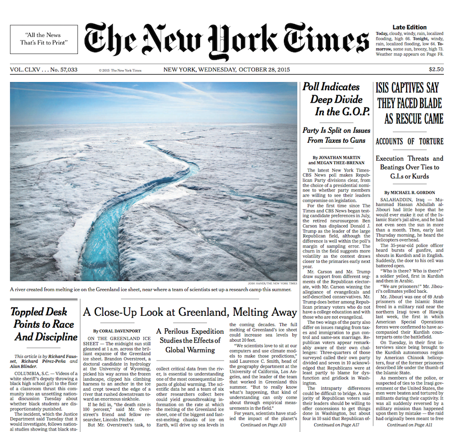
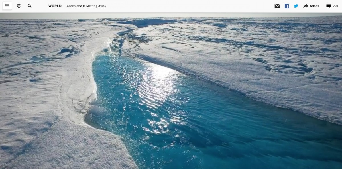
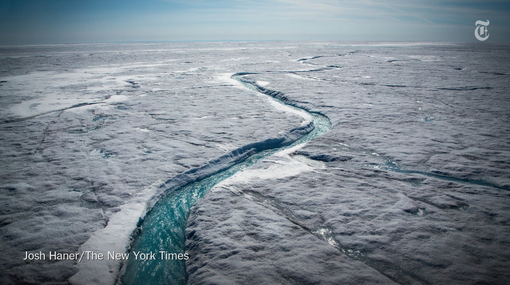
Josh Haner, a New York Times staff photographer, recently wrote about his experience shooting frigid rivers during a visit to Greenland, which is mostly covered in glacial ice. One photo made the front page this week while nytimes.com ran an interactive story using Haner’s drone footage. Here are some of the takeaways he shared with The New York Times Insider section.
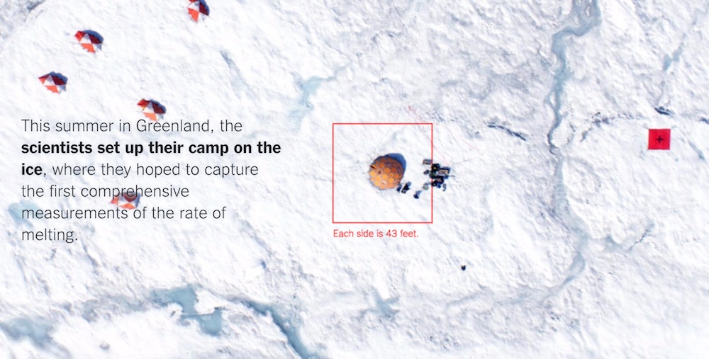
If the scientists bring a drone to map the arctic ice, The New York Times should, too.
Drone footage opens “a new path for readers to experience our stories.”
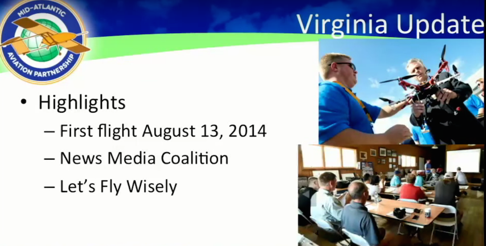
It took several months of practice flying drones at a U.S. government-sanctioned test site in Virginia before The Times was ready to deploy them on assignment.
“In Greenland’s frozen air, each battery in the drone lasted only 8 to 10 minutes… I wanted to get my initial aerial photos and videos done quickly, then change memory cards, so that if I lost the drone over the ice or in the river, I would still have the initial images.”
“Flying up the river as low as possible… is an angle only a drone can get.”
All New York Times photos courtesy of the paper.
Aleszu Bajak was the founding editor of Storybench. He is currently the director of data visualization at the Urban Institute. Previously, he was a senior data reporter on USA TODAY's data team, part of the newspaper's national investigative unit. He is a former Knight Science Journalism Fellow at M.I.T., was a founding senior writer at Undark magazine and founding editor of Esquire Classic, a project resuscitating the magazine's archives. His work has appeared in The New York Times, The Washington Post, M.I.T. Technology Review and Nature.
Latest posts by Aleszu Bajak (see all)